|
|
|
|
 |
||
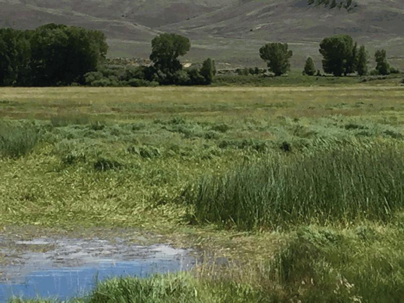
Tomichi Creek

| Image Data | |||
| Date: Direction: State: Country: Marker ID: |
08/14/2017 South East Colorado USA 286 |
||
| Location: | Gold Basin Road south edge of Gunnison | ||
|
|
|
|
Association: Retiree
Longitude: -106.939130
Description: Cattle grazing has disturbed the emergent vegetation in the old channel.
 08/19/2015 |
 08/14/2017 |