|
|
|
|
 |
||
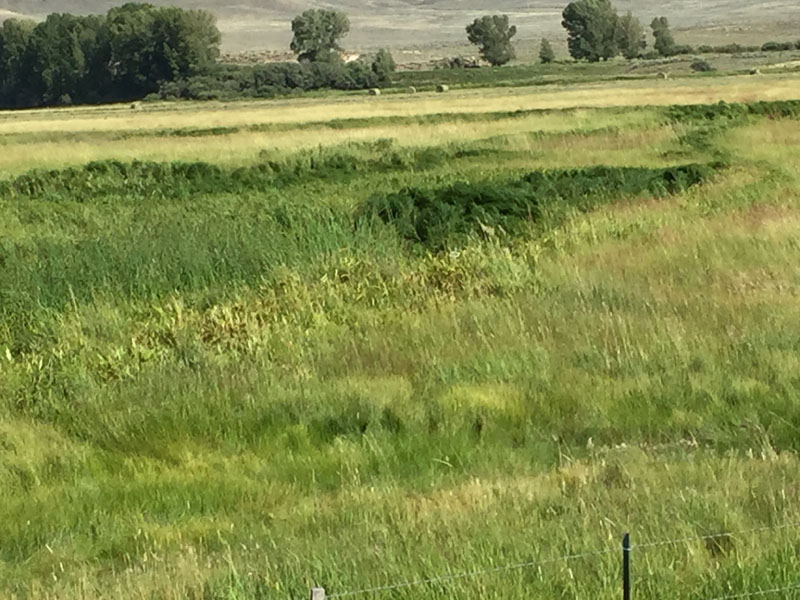
Tomichi Creek

| Image Data | |||
| Date: Direction: State: Country: Marker ID: |
08/19/2015 South East Colorado USA 286 |
||
| Location: | Gold Basin Road south edge of Gunnison | ||
|
|
|
|
Association: Scientist
Longitude: -106.939130
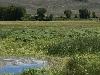
Description: Old meander of Tomichi Creek has a hydrologic connection to creek when flooding, but is isolated wetland when water goes down. In summer wetland is vegetated by a fresh marsh of Scirpus and cattail.
 08/19/2015 |
 08/14/2017 |