|
|
|
|
 |
||
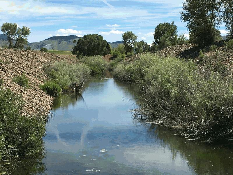
Alder Creek Mining

| Image Data | |||
| Date: Direction: State: Country: Marker ID: |
06/27/2017 South Montana USA 368 |
||
| Location: | MT 287 east of Alder | ||
|
|
|
|
Association: Scientist
Longitude: -112.082047
Description: No noticeable change since August 2016 with the exception of higher water level due to recent heavy rains.
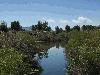 08/07/2016 |
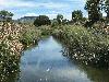 06/27/2017 |