|
|
|
|
 |
||
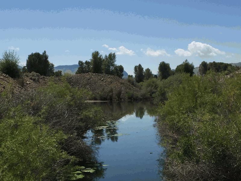
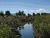
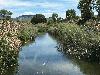
Alder Creek Mining

| Image Data | |||
| Date: Direction: State: Country: Marker ID: |
08/07/2016 South Montana USA 368 |
||
| Location: | MT 287 east of Alder | ||
|
|
|
|
Association: Scientist
Longitude: -112.082047
Description: Ponds and wetlands resulting from hydraulic dredge mining for gold in creek sediments. Wetlands are dominated by open water, cattails, and Srcub-shrub willow.
 08/07/2016 |
 06/27/2017 |