|
|
|
|
 |
||
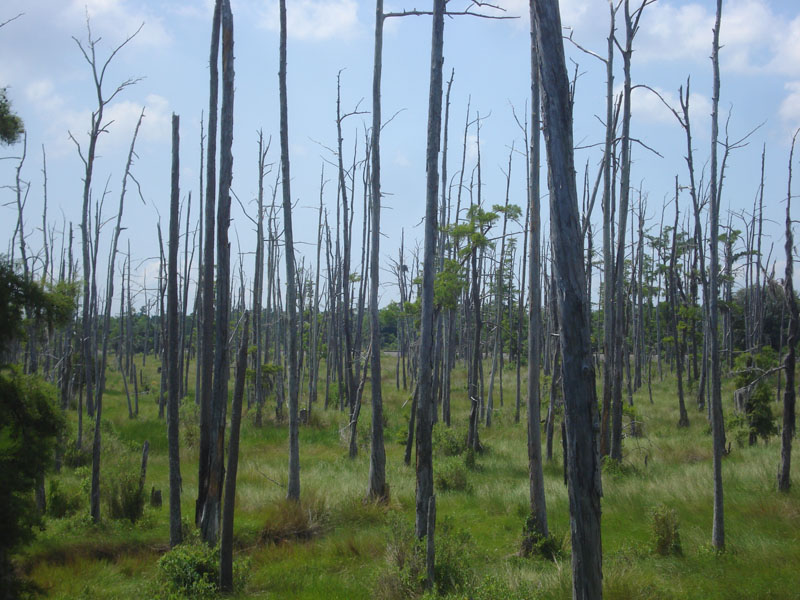
La Branche Wetland

| Image Data | |||
| Date: Direction: State: Country: Marker ID: |
05/22/2014 South Louisiana USA 65 |
||
| Location: | From I-10 west of Kenner | ||
|
|
|
|
Association: Scientist
Longitude: -90.314226
Description: Marsh is fresher (less salty than previous image of 7/30/2011), less Spartina patens. Some younger cypress coming back and scrub shrub as area is slightly drier.
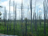 07/30/2011 |
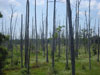 05/22/2014 |