|
|
|
|
 |
||
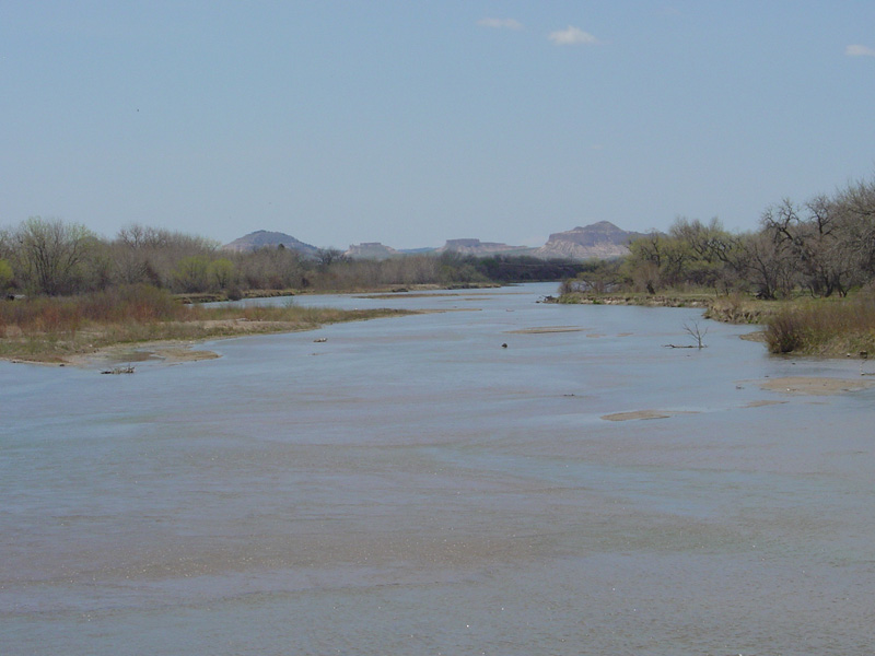
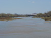
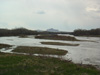
North Platte River

| Image Data | |||
| Date: Direction: State: Country: Marker ID: |
04/26/2004 West Nebraska USA 149 |
||
| Location: | US 26 bridge at Bayard | ||
|
|
|
|
Association: Government
Longitude: -103.325837
Description: Riverine channel with bank to bank flow of spring flow. Channel is braided with sandbars visible during low flow periods. Floodplain is rarely flooded due to flow managment upsteam by reservoirs.
 04/26/2004 |
 04/30/2005 |