|
|
|
|
 |
||
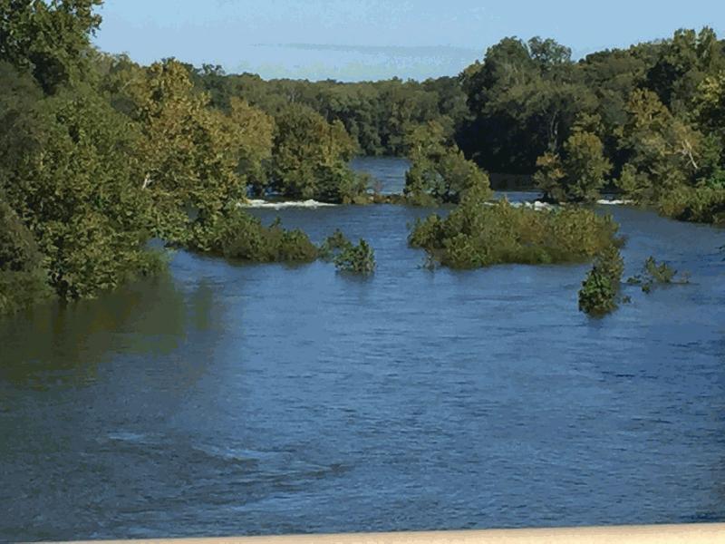
Oconee River

| Image Data | |||
| Date: Direction: State: Country: Marker ID: |
10/07/2015 North Georgia USA 312 |
||
| Location: | East of Milledgeville | ||
|
|
|
|
Association: Scientist
Longitude: -83.214505
Description: River level is after five days of rain, nearly 8 inches in upper portion of watershed.
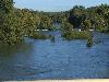 10/07/2015 |
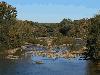 10/30/2015 |