|
|
|
|
 |
||
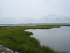
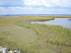
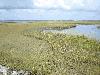
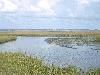
Wallops Island

| Image Data | |||
| Date: Direction: State: Country: Marker ID: |
09/19/2014 North Virginia USA 14 |
||
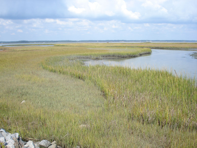
| Location: | Wire Narrows between Chincoteague Island and Wallops Island | ||
|
|
|
|
Association: Government
Longitude: -75.412463
Description: Salt Marsh continues to fill in mud flat.
 05/31/2008 |
 06/01/2008 |
 08/31/2008 |
 08/08/2012 |
 08/09/2012 |
|||||
 08/08/2012 |
 09/19/2014 |
 09/19/2014 |
 09/19/2014 |