|
|
|
|
 |
||
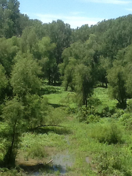
Chain of Rocks

| Image Data | |||
| Date: Direction: State: Country: Marker ID: |
06/14/2014 South Illinois USA 121 |
||
| Location: | Illinois side of Chain of Rocks Bridge | ||
|
|
|
|
Association: Scientist
Longitude: -90.167582
Description: Mississippi River water level high. Water moving through floodplain swales.
 05/18/2013 |
 06/14/2014 |