|
|
|
|
 |
||
| Image Data | |||
| Date: Direction: State: Country: Marker ID: |
09/07/2013 North West Alabama USA 152 |
||
| Location: | Wetumpka | ||
|
|
|
|
Association: Individual
Longitude: -86.238427
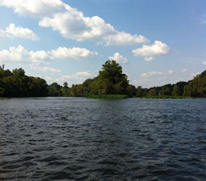
Description: River channel permanently flooded. High water is from recent rains in the Coosa and Talapoosa rivers watersheds, and after daily 11:00am CDT water release from Lake Jordan on the Coosa River. Channel fringing emergent herbaceous vegetation can be seen along edges of forested wetlands on banks and channel bar. One area of emergent marsh on left side of picture is submerged under the high water flow.
 09/07/2013 |
 09/22/2013 |