|
|
|
|
 |
||
Cooper Creek

| Image Data | |||
| Date: Direction: State: Country: Marker ID: |
08/04/2013 North East Colorado USA 143 |
||
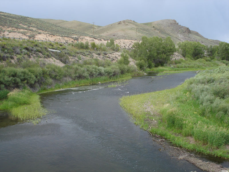
| Location: | Gunnison River in Curecanti NRA | ||
|
|
|
|
Association: Scientist
Longitude: -107.024321
Description: Gunnison River channel with gravel bar. The bar is exposed and now vegetated with emergent herbaceious marsh and willow scrub-shrub. The region has had three years of reduced snowfall and lack of meltwater has resulted in Curecanti Reservoir to be down 40 feet below normal. When the reservoir is at normal full pool level, the gravel bar would be underwater and the shoreline would be the scrub-shrub.
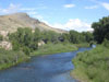
 08/04/2013 |
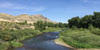
 08/05/2014 |
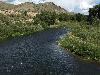
 08/18/2015 |
 08/14/2017 |