|
|
|
|
 |
||
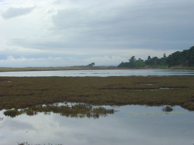
Moss Landing

| Image Data | |||
| Date: Direction: State: Country: Marker ID: |
10/01/2006 West California USA 13 |
||
| Location: | North of Moss Landing | ||
|
|
|
|
Association: Government
Longitude: -121.787610
Description: Salt Marsh of Pickleweed within an area of Bennett Slough a tidal arm of Elkhorn Slough. At Moss Point State Park.
 10/01/2006 |
 10/23/2011 |