|
|
|
|
 |
||
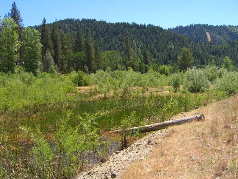
Weaver Basin Wetlands

| Image Data | |||
| Date: Direction: State: Country: Marker ID: |
06/18/2012 South East California USA 97 |
||
| Location: | southern part of Weaverville | ||
|
|
|
|
Association: College Educator
Longitude: -122.929673
Description: This wetland was constructed in about 2002 using NRCS WRP funds. It is a freshwater marsh with a littoral edge of willow (primarily narrow-leaf). It was constructed in the historical floodplain of Weaver Creek. There are four (4) cells of varying depths. Cattails have invaded the deepest wetland. It is adjacent to other wetlands including a natural riparian floodplain constructed about 20 years ago.
| No Additional Dates for this Site. |