|
|
|
|
 |
||
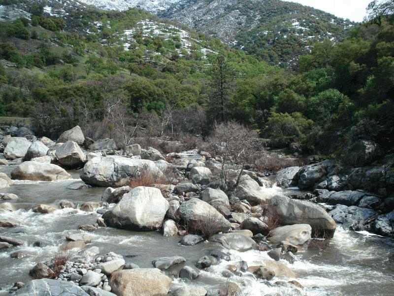
Sequioa NP

| Image Data | |||
| Date: Direction: State: Country: Marker ID: |
03/18/2012 North East California USA 95 |
||
| Location: | Three Rivers | ||
|
|
|
|
Association: Scientist
Longitude: -118.838661
Description: Riverine channel in montane system. Rock Bottom that is rubble. Stream flows year-round with higher water levels from snowmelt in spring and early summer.
| No Additional Dates for this Site. |