|
|
|
|
 |
||
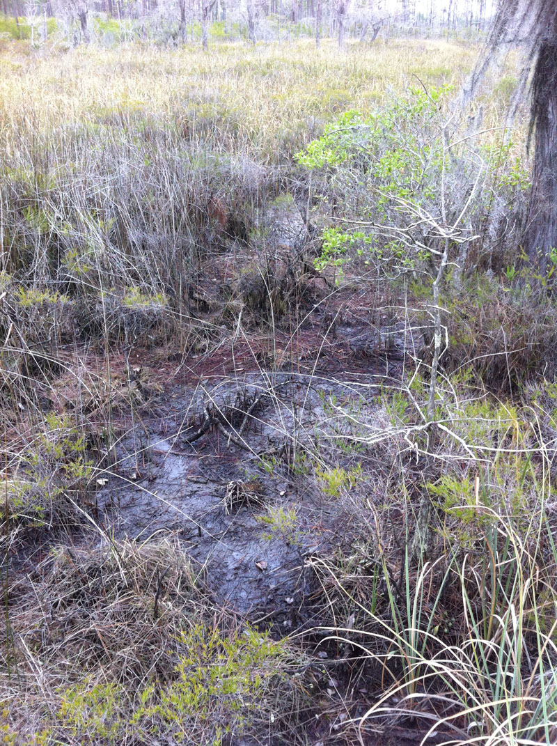
Mississippi Sandhill Crane

| Image Data | |||
| Date: Direction: State: Country: Marker ID: |
01/14/2012 North East Mississippi USA 85 |
||
| Location: | Mississippi Sandhill Crane NWR | ||
|
|
|
|
Association: Scientist
Longitude: -88.655956
Description: Isolated pine flatwood bog. Palustrine emergent herbaceous bog wetland. Some wetland scrub-shrub present; less than 30% cover. Loblolly pine surrounding the saturated flat are on slightly higher ground. Bog is predominantly a peat soil on a sand base.
| No Additional Dates for this Site. |