|
|
|
|
 |
||
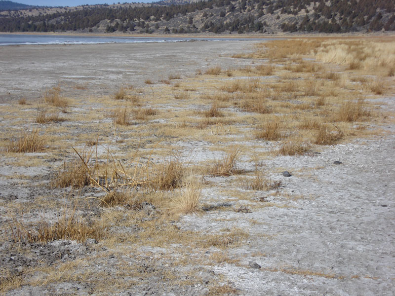
Eagle Lake Shore

| Image Data | |||
| Date: Direction: State: Country: Marker ID: |
01/11/2012 North California USA 84 |
||
| Location: | Eastern shore of Eagle Lake along Hwy 139 | ||
|
|
|
|
Association: Scientist
Longitude: -120.673785
Description: Lacustrine unconsolidated shore vegetated greater than 30% cover. Vegetation is inundated by lake level during the spring and summer.
| No Additional Dates for this Site. |