|
|
|
|
 |
||
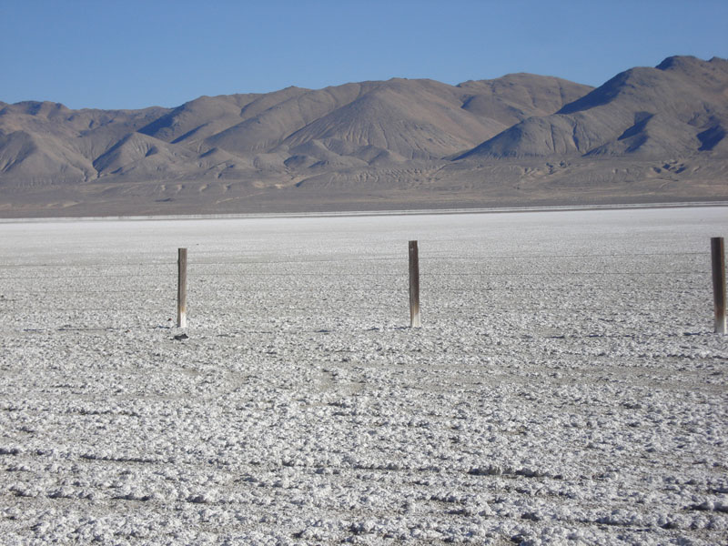
Winnemucca Lake

| Image Data | |||
| Date: Direction: State: Country: Marker ID: |
01/09/2012 East Nevada USA 83 |
||
| Location: | Along highway 447 west side of Winnemucca Lake | ||
|
|
|
|
Association: Scientist
Longitude: -119.373300
Description: Lacustrine littoral unconsolidated shore of predominantly mud seasonally flooded and/or saturated to the surface with alkaline salt deposit on surface.
| No Additional Dates for this Site. |