|
|
|
|
 |
||
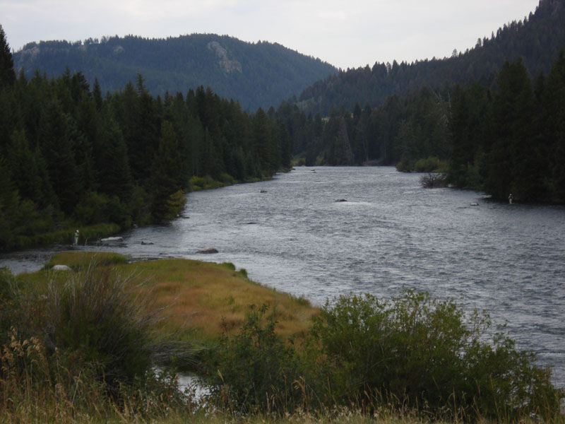
Madison River

| Image Data | |||
| Date: Direction: State: Country: Marker ID: |
09/05/2009 South Montana USA 69 |
||
| Location: | Madison River | ||
|
|
|
|
Association: Scientist
Longitude: -111.591911
Description: A Riverine channel, upper perennial fast moving water, unconsolidated bottom of cobble/gravel, permanently flooded.
| No Additional Dates for this Site. |