|
|
|
|
 |
||
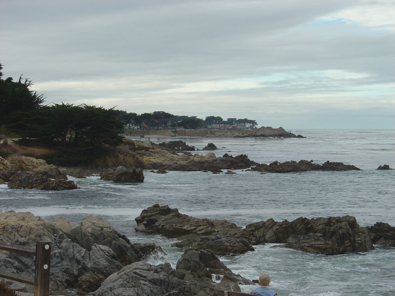
Monterey Bay

| Image Data | |||
| Date: Direction: State: Country: Marker ID: |
09/30/2006 West California USA 68 |
||
| Location: | Monterey | ||
|
|
|
|
Association: Scientist
Longitude: -121.905059
Description: An intertidal Marine rocky shore of bedrock that is irregularly flooded by the high tide.
| No Additional Dates for this Site. |