|
|
|
|
 |
||
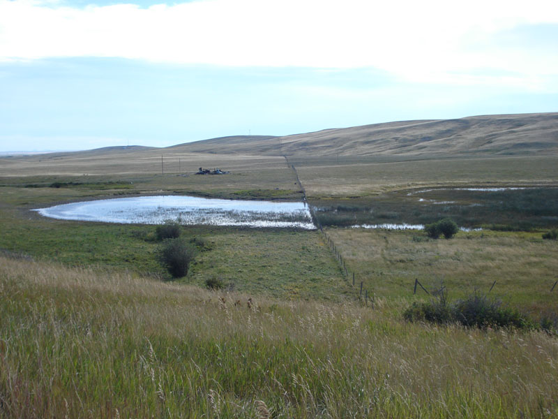
Montana Grazed Pothole

| Image Data | |||
| Date: Direction: State: Country: Marker ID: |
09/04/2010 East Montana USA 66 |
||
| Location: | Along US Highway 2 west of Browning, Montana | ||
|
|
|
|
Association: Scientist
Longitude: -113.073714
Description: Palustrine emergent wetland with persistent herbaceous vegetation that has been grazed on the north side of the pothole. Water regime is semipermanent flooded because the pothole bed has been very shallow at some time allowing broadleaf cattails to colonize.
| No Additional Dates for this Site. |