|
|
|
|
 |
||
Fort Union

| Image Data | |||
| Date: Direction: State: Country: Marker ID: |
02/16/2008 West North Dakota USA 53 |
||
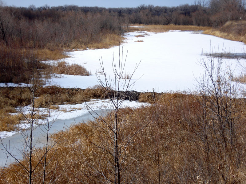
| Location: | At Ft. Union National Historic Site, at the south edge of the confluence of the Missouri and Yellowstone rivers | ||
|
|
|
|
Association: Scientist
Longitude: -104.0307
Description: Palustrine water body. Less than 20 acres in size. Impounded by beaver dam in foreground. Water presence is considered to be permanent.
| No Additional Dates for this Site. |