|
|
|
|
 |
||
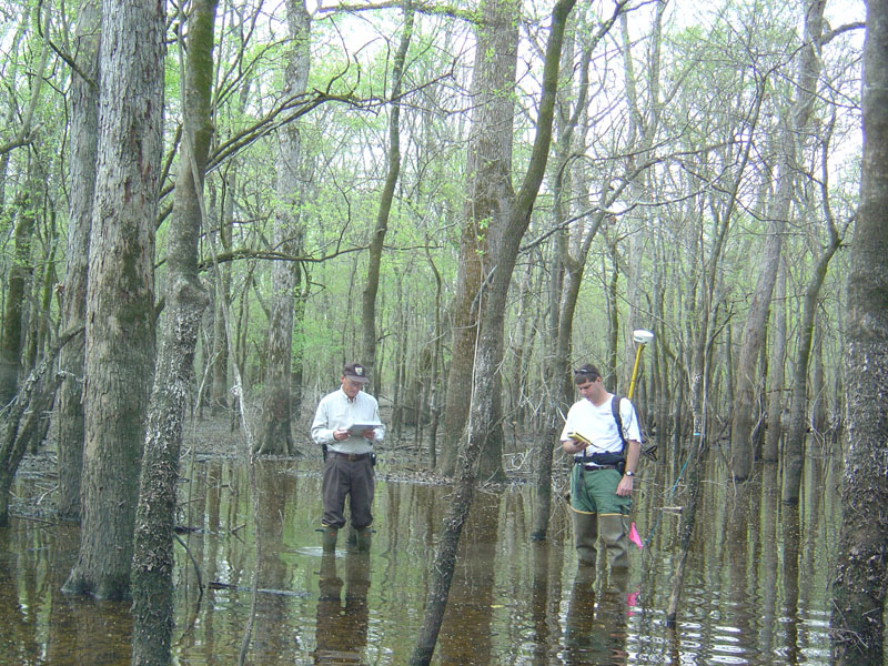
White River NWR

| Image Data | |||
| Date: Direction: State: Country: Marker ID: |
04/01/2006 North Arkansas USA 48 |
||
| Location: | White River National Wildlife Refuge, south of St. Charles | ||
|
|
|
|
Association: Scientist
Longitude: -91.142921
Description: Bottomland Hardwood Forest of predominantly broadleaf deciduous trees over 20 feet in height with a few cypress (narrowleaf deciduous) trees present. Semi-permanent water is present in pockets for most of the year. Waterline from spring (March and April) flooding of the Lower White River is evident at about 4 feet above the water surface.
| No Additional Dates for this Site. |