|
|
|
|
 |
||
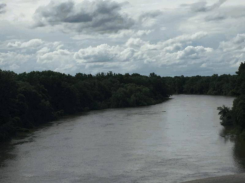
Congaree River

| Image Data | |||
| Date: Direction: State: Country: Marker ID: |
05/29/2018 North West South Carolina USA 420 |
||
| Location: | Congaree National Forest and Preserve | ||
|
|
|
|
Association: Scientist
Longitude: -80.647792
Description: Congaree River is a lower perennial stream with a large floodplain vegetated with a predominantly deciduous Forested Wetland. Much of the forest has never been disturbed.
| No Additional Dates for this Site. |