|
|
|
|
 |
||
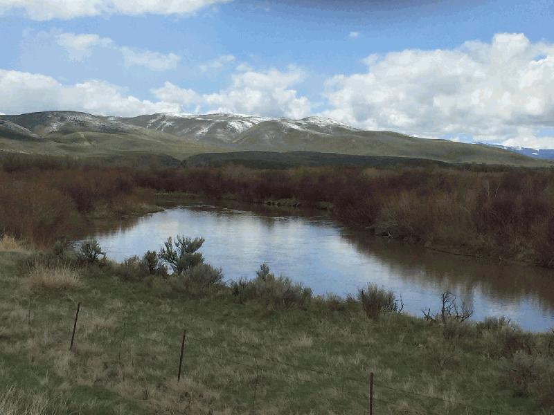
Bear River

| Image Data | |||
| Date: Direction: State: Country: Marker ID: |
05/01/2018 South West Idaho USA 416 |
||
| Location: | US Hwy 30 southeast of Wardsboro | ||
|
|
|
|
Association: Scientist
Longitude: -111.222342
Description: River floodplain vegetated with Scrub-shrub Sandbar Willow and grasses with emergent herbaceous reeds at channel edges. Evidence of recent overbank flooding with debris in scrub-shrub.
| No Additional Dates for this Site. |