|
|
|
|
 |
||
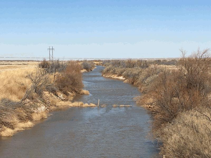
Pecos River at Artesia

| Image Data | |||
| Date: Direction: State: Country: Marker ID: |
03/04/2018 North New Mexico USA 411 |
||
| Location: | US Hwy 82 east of Artesia | ||
|
|
|
|
Association: Scientist
Longitude: -104.323901
Description: River entrenched in floodplain with no indication of recent overbank flooding.
| No Additional Dates for this Site. |