|
|
|
|
 |
||
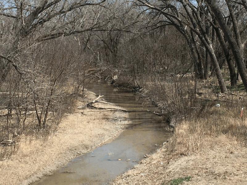
Smoky Hill River

| Image Data | |||
| Date: Direction: State: Country: Marker ID: |
04/19/2018 East Kansas USA 410 |
||
| Location: | US Hwy 283 north of Ness City | ||
|
|
|
|
Association: Scientist
Longitude: -99.892345
Description: Permanent stream with low floodplain, vegetated with cottonwoods and lower Scrub-shrub of willow. Evidence of recent overbank flooding from scattered debris on floodplain and sediment deposition.
| No Additional Dates for this Site. |