|
|
|
|
 |
||
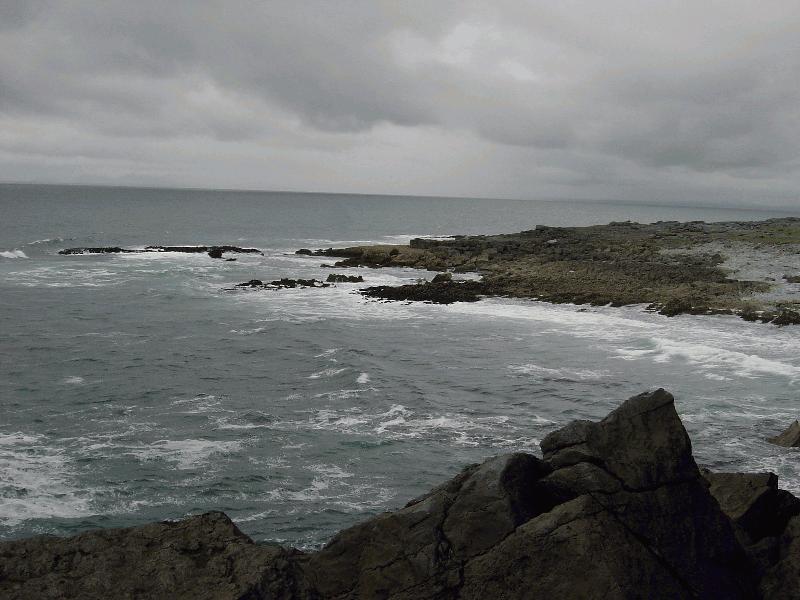
Black Head Peninsula

| Image Data | |||
| Date: Direction: State: Country: Marker ID: |
05/04/2003 North East Ireland USA 408 |
||
| Location: | Road R477 southeast of Black Head Lighthouse | ||
|
|
|
|
Association: Government
Longitude: -9.255330
Description: Bare limestone layer forming the shoreline of the Burren on the northwest coast. Shoreline consists of predominantly bedrock with some boulders and cobble sized material. The high energy wave action reduces benthic vegetation in the intertidal zone to attached algae.
| No Additional Dates for this Site. |