|
|
|
|
 |
||
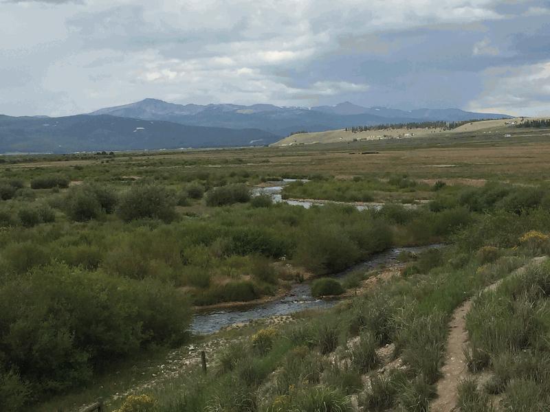
Arkansas River 3

| Image Data | |||
| Date: Direction: State: Country: Marker ID: |
08/22/2017 North Colorado USA 404 |
||
| Location: | US Hwy 24 south of Leadville | ||
|
|
|
|
Association: Retiree
Longitude: -106.324900
Description: Arkansas River floodplain. River channel is braided in late summer low flow, but channel is choked with bedload from mining, reworking tailings, and reclamation in Leadville area.
| No Additional Dates for this Site. |