|
|
|
|
 |
||
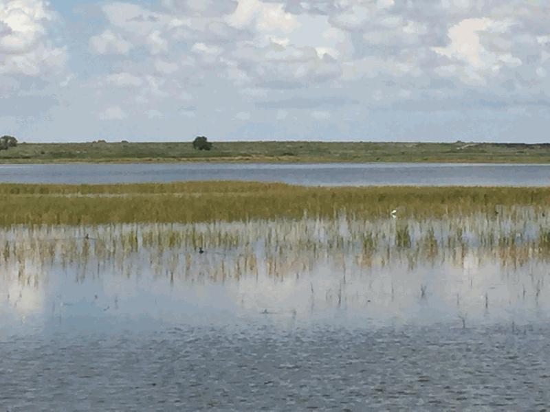
Bitter Lake

| Image Data | |||
| Date: Direction: State: Country: Marker ID: |
08/01/2017 North New Mexico USA 400 |
||
| Location: | Bitter Lake National Wildlife Refuge | ||
|
|
|
|
Association: Scientist
Longitude: -104.409707
Description: Initially a series of oxbow lakes in the floodplain of the Pecos River. Although there is occasional flooding by the Pecos River into the floodplain, the oxbow lake's water level is maintained by groundwater that is high in gypsum absorbed from rock layers. Today the old oxbow lakes' water levels are artificially maintained by the USFWS as a series of impoundments for wading bird and migratory bird habitats. The emergent saline marsh is multiple species of Scirpus, including three square and bullrush.River
| No Additional Dates for this Site. |