|
|
|
|
 |
||
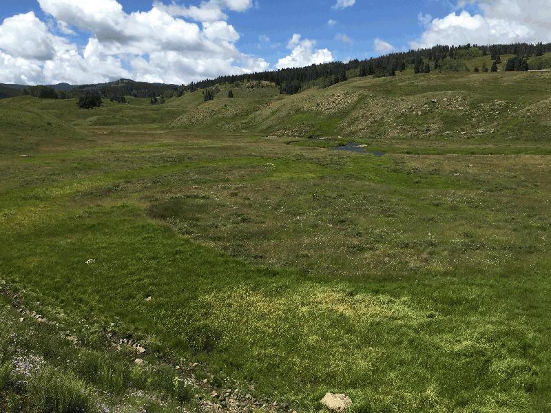
Rio de las Pinos

| Image Data | |||
| Date: Direction: State: Country: Marker ID: |
08/07/2017 South West Colorado USA 399 |
||
| Location: | Along the Cumbres and Toltec Railroad | ||
|
|
|
|
Association: Retiree
Longitude: -106.404755
Description: Numerous old channel meander scars and oxbow lakes on the flat valley floor. Meanders scars are saturated, with standing water throughout the growing season. Emergent Fresh Marsh includes Scirpus app. and rushes.
| No Additional Dates for this Site. |