|
|
|
|
 |
||
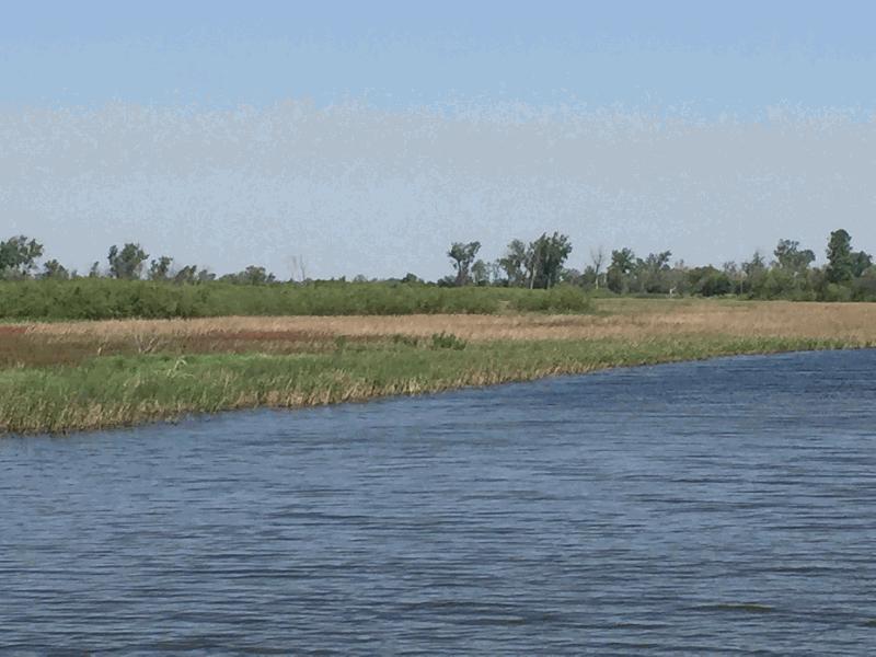
Waubonsie Lowlands

| Image Data | |||
| Date: Direction: State: Country: Marker ID: |
05/16/2017 North West Iowa USA 386 |
||
| Location: | Waubonsie State Management Area | ||
|
|
|
|
Association: Scientist
Longitude: -95.813216
Description: Missouri River floodplain. Old river channel provides drainage for nearby agricultural fields. Drier in summer allows fresh marsh to establish in shallower areas. Forested vegetation on higher channel banks. Provides stopover and nesting habitats for migratory waterfowl, wading birds, and songbirds.
| No Additional Dates for this Site. |