|
|
|
|
 |
||
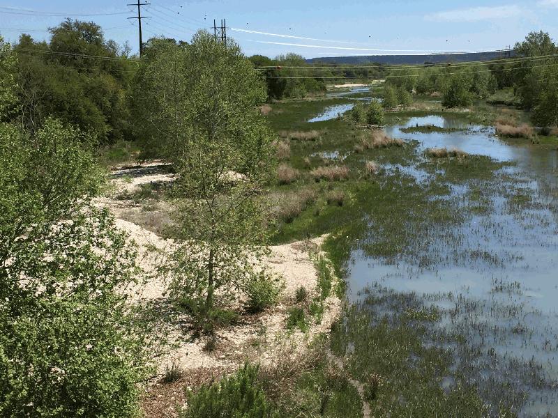
North Llano River

| Image Data | |||
| Date: Direction: State: Country: Marker ID: |
04/07/2017 West Texas USA 385 |
||
| Location: | US Highway 377 at Junction | ||
|
|
|
|
Association: Scientist
Longitude: -99.779527
Description: Streambed with over 30% coverage of rooted vascular vegetation. Channel bars and banks vegetated with cottonwoods and sand bar Willow.
| No Additional Dates for this Site. |