|
|
|
|
 |
||
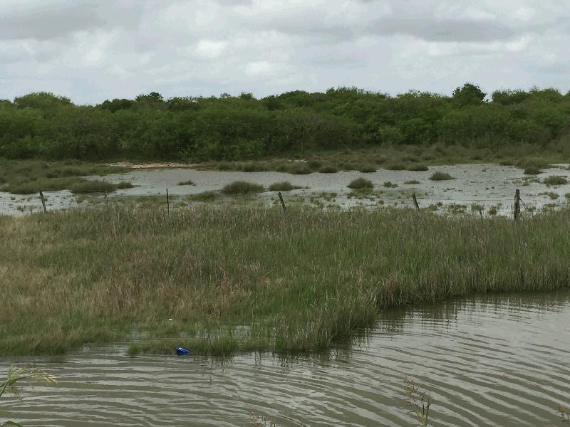
Carancahua Bay

| Image Data | |||
| Date: Direction: State: Country: Marker ID: |
04/01/2017 North West Texas USA 384 |
||
| Location: | State Highway 35 | ||
|
|
|
|
Association: Scientist
Longitude: -96.400545
Description: Emergent Salt Marsh with open water. Tide is high pushing water higher into the marsh due to strong wind for two days from east and southeast.
| No Additional Dates for this Site. |