|
|
|
|
 |
||
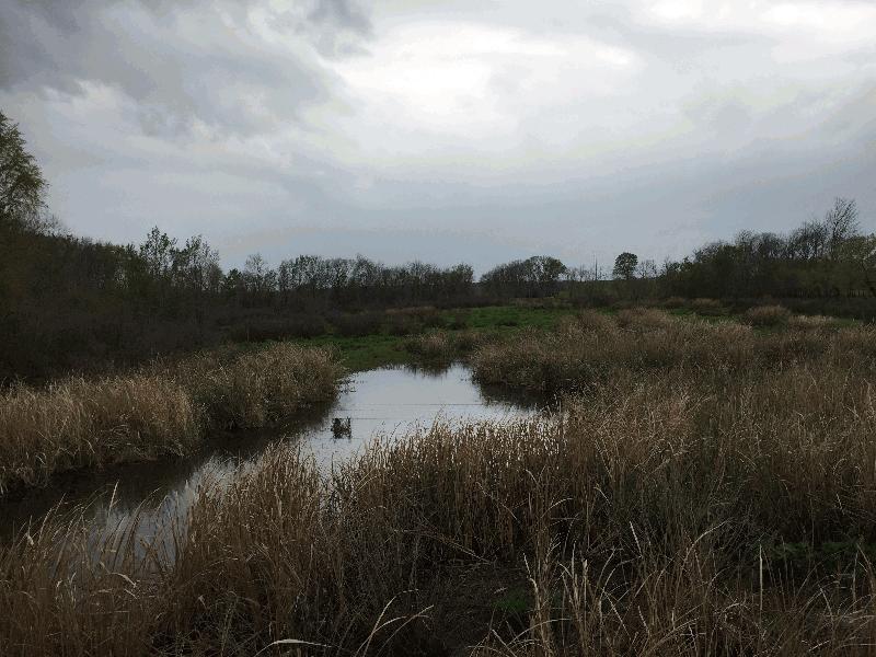
Mill Creek

| Image Data | |||
| Date: Direction: State: Country: Marker ID: |
03/24/2017 West Texas USA 380 |
||
| Location: | US Highway 259 | ||
|
|
|
|
Association: Scientist
Longitude: -94.680868
Description: Emergent fresh marsh of sawgrass and open water on south edge of Red River floodplain
| No Additional Dates for this Site. |