|
|
|
|
 |
||
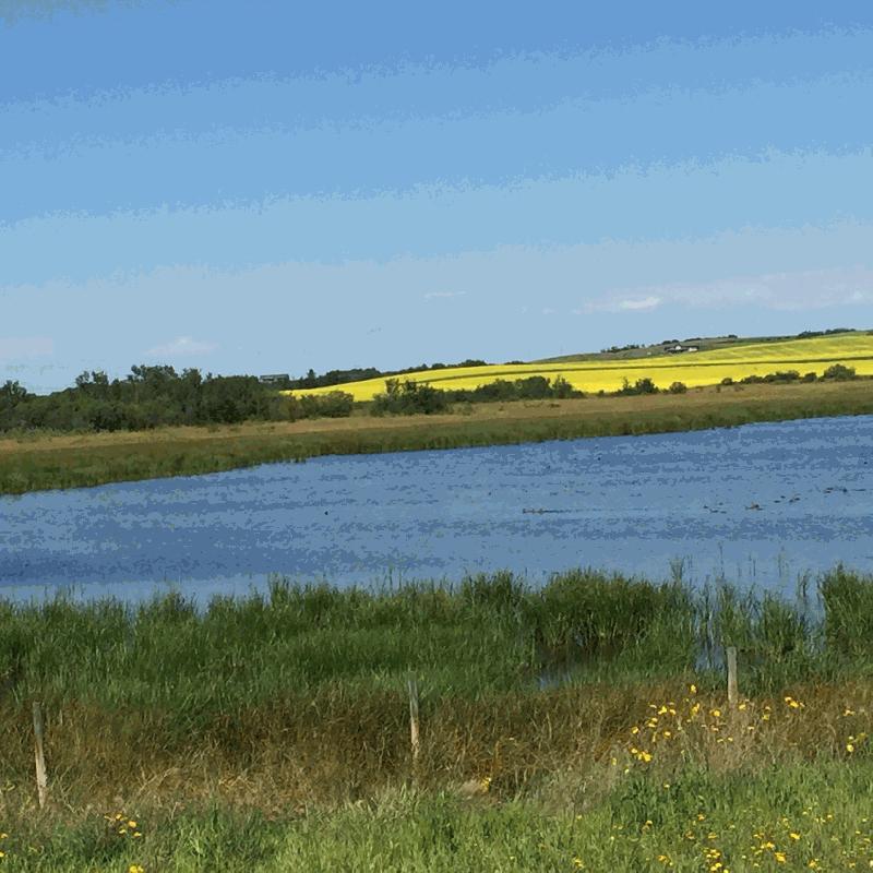
Alberta Pothole

| Image Data | |||
| Date: Direction: State: Country: Marker ID: |
07/21/2016 South Alberta USA 367 |
||
| Location: | TransCanada Hwy 16 east of Vermillion | ||
|
|
|
|
Association: Scientist
Longitude: -110.480576
Description: Prairie pothole with open water and cattail fringe. Canola field in bloom in distance on ridge.
| No Additional Dates for this Site. |