|
|
|
|
 |
||
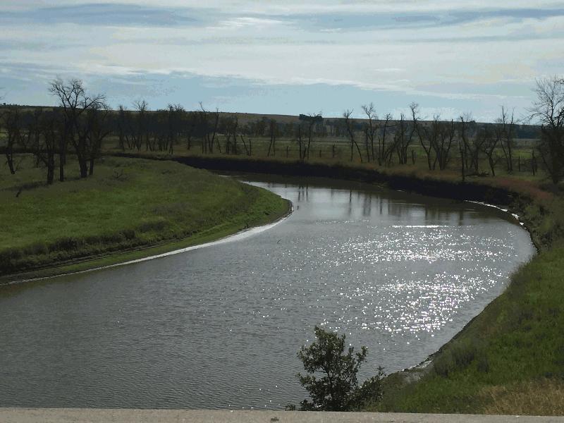
James River

| Image Data | |||
| Date: Direction: State: Country: Marker ID: |
07/19/2016 East South Dakota USA 365 |
||
| Location: | SD Hwy 37 north of Mitchell | ||
|
|
|
|
Association: Scientist
Longitude: -98.026800
Description: River channel, and floodplain with stressed and dead cottonwood trees.
| No Additional Dates for this Site. |