|
|
|
|
 |
||
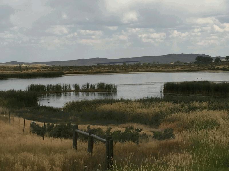
Ray Lake

| Image Data | |||
| Date: Direction: State: Country: Marker ID: |
08/17/2016 East Wyoming USA 361 |
||
| Location: | US Hwy 26 near Ray Lake | ||
|
|
|
|
Association: Scientist
Longitude: -108.834858
Description: Depression with slightly alkaline open water, cattails and Scirpus growing in the depression's shallow water margin. Submerged aquatics and Open water being utilized by waterfowl and Trumpeter Swans.
| No Additional Dates for this Site. |