|
|
|
|
 |
||
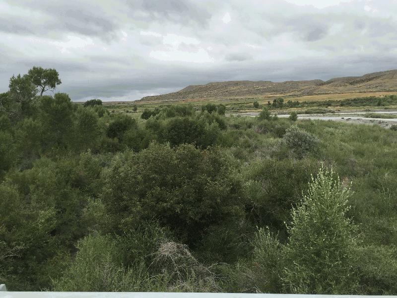
Wind River Floodplain

| Image Data | |||
| Date: Direction: State: Country: Marker ID: |
08/19/2016 North West Wyoming USA 360 |
||
| Location: | US Hwy 26 west of Kinnear | ||
|
|
|
|
Association: Scientist
Longitude: -108.894789
Description: Gravel bar in river channel covered with sand bar willow. Taller cottonwood trees are growing along channel bank.
| No Additional Dates for this Site. |