|
|
|
|
 |
||
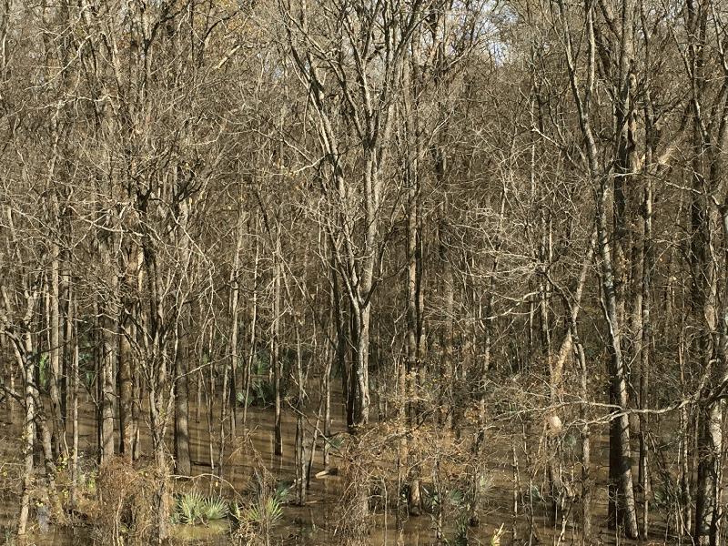
Panther Swamp

| Image Data | |||
| Date: Direction: State: Country: Marker ID: |
01/18/2016 East Mississippi USA 347 |
||
| Location: | Panther Swamp National Wildlife Refuge on Hwy 149 | ||
|
|
|
|
Association: Scientist
Longitude: -90.553112
Description: Yazoo River Delta is usually flooded each spring throughout low lying areas. Heavy rains in early January (2016) throughout the Midwest and South have caused high water levels on the Mississippi River resulting in wide-spread back flooding in the Yazoo Basin and Alluvial Valley. Panther Swamp is primarily a forested wetland of ash, nuttall oak, overcup oak, maple, and water hickory.
| No Additional Dates for this Site. |