|
|
|
|
 |
||
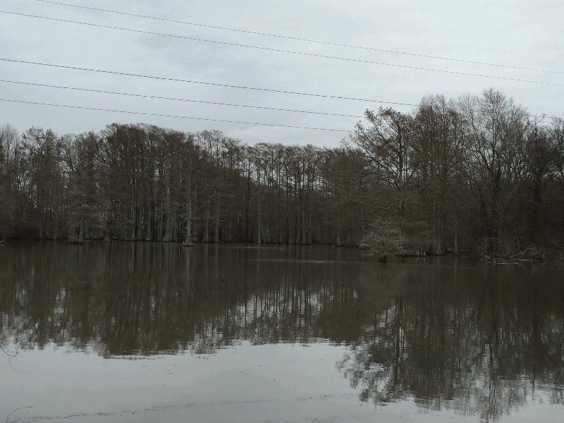
Cutoff Bayou

| Image Data | |||
| Date: Direction: State: Country: Marker ID: |
01/18/2016 North East Arkansas USA 346 |
||
| Location: | County Road 59 at Varner | ||
|
|
|
|
Association: Scientist
Longitude: -91.633734
Description: Old meandering stream on Arkansas River floodplain has been cutoff for agricultural fields. This portion of stream is filled in with Cypress forest and some areas of scrub-shrub and ponded shallow water.
| No Additional Dates for this Site. |