|
|
|
|
 |
||
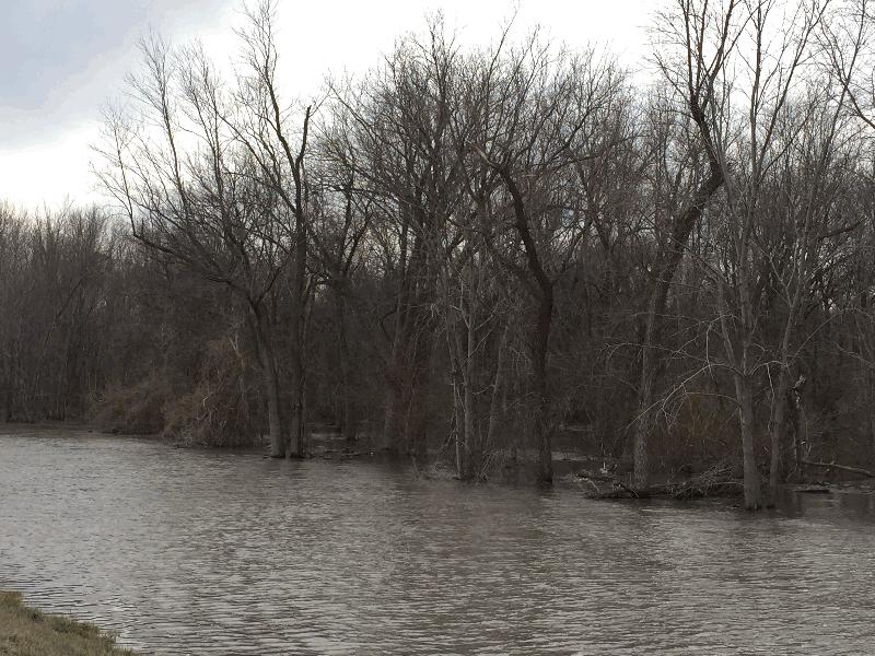
Sangamon River Lowland

| Image Data | |||
| Date: Direction: State: Country: Marker ID: |
01/06/2016 South West Illinois USA 345 |
||
| Location: | Chandlerville | ||
|
|
|
|
Association: Scientist
Longitude: -90.152832
Description: Flooded lowland in backwaters of the Illinois River. Forested Wetland along Sangamon River seasonally flooded.
| No Additional Dates for this Site. |