|
|
|
|
 |
||
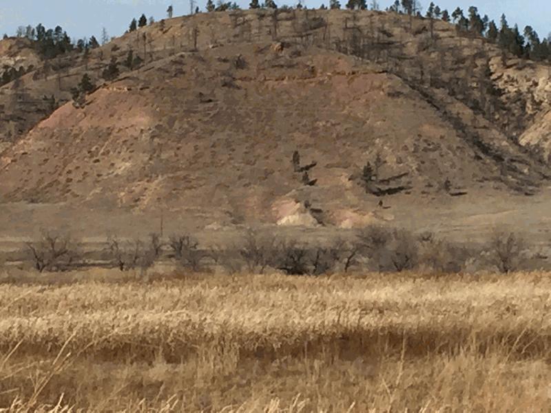
Muddy Creek

| Image Data | |||
| Date: Direction: State: Country: Marker ID: |
11/13/2015 North Montana USA 341 |
||
| Location: | Muddy Creek runs into Rosebud Creek | ||
|
|
|
|
Association: Scientist
Longitude: -106.764321
Description: Fresh marsh of cattail, bullrush, and Carex at confluence. Rosebud Creek has created sediment dam that is ponding Muddy Creek at its mouth.
| No Additional Dates for this Site. |