|
|
|
|
 |
||
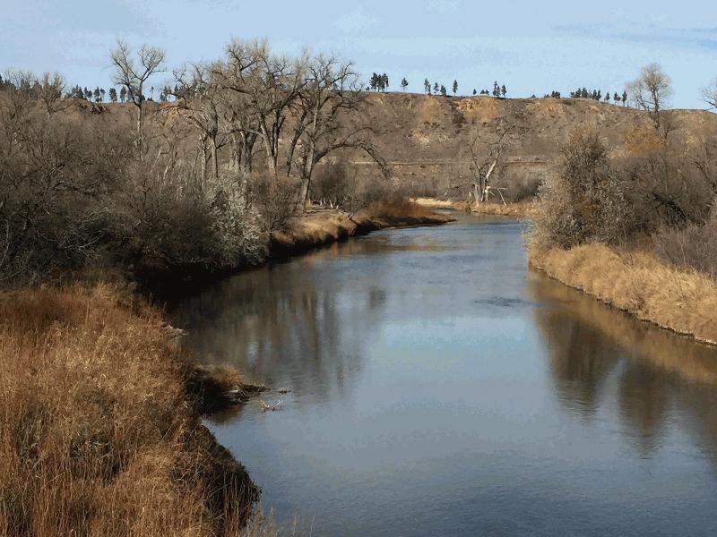
Tongue River

| Image Data | |||
| Date: Direction: State: Country: Marker ID: |
11/13/2015 North Montana USA 340 |
||
| Location: | U.S. Hwy 212 west of Ashland | ||
|
|
|
|
Association: Scientist
Longitude: -106.288090
Description: Stream channel banks covered with emergents with floodplain vegetated by old Cottonwoods, and scrub-shrub Willow and oaks.
| No Additional Dates for this Site. |