|
|
|
|
 |
||
| Image Data | |||
| Date: Direction: State: Country: Marker ID: |
11/07/2015 South East Montana USA 334 |
||
| Location: | Montana Hwy 59 north of Volberg | ||
|
|
|
|
Association: Scientist
Longitude: -105.578533
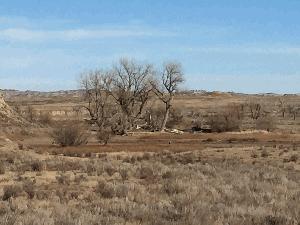
Description: Old stream meander wetland of fresh marsh with Pronghorn Antelope grazing in wetland.
| No Additional Dates for this Site. |