|
|
|
|
 |
||
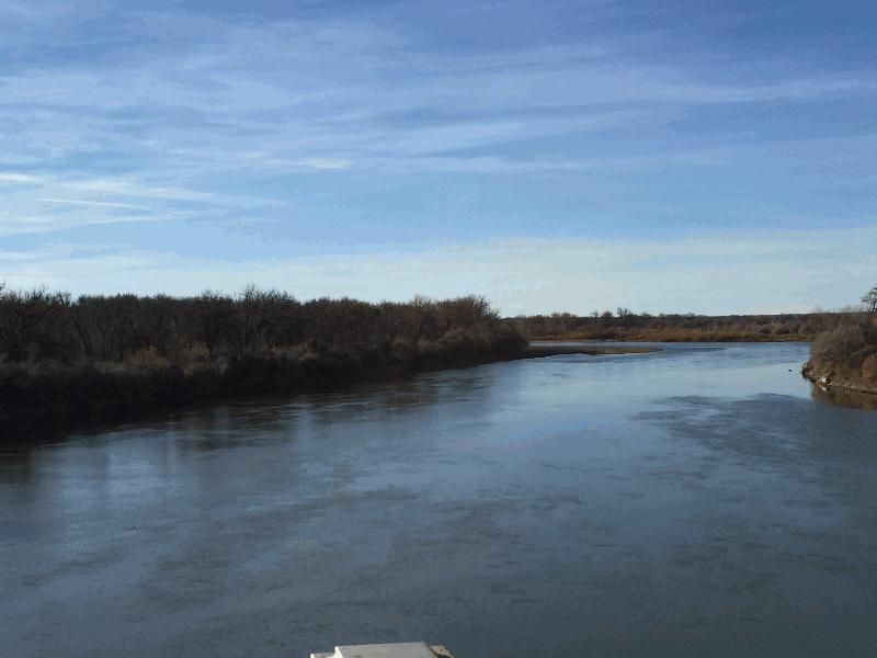
Yellowstone River

| Image Data | |||
| Date: Direction: State: Country: Marker ID: |
11/07/2015 West Montana USA 333 |
||
| Location: | U.S. Hwy 12 at Forsyth | ||
|
|
|
|
Association: Scientist
Longitude: -106.703274
Description: River channel and floodplain. Floodplain vegetated with Cottonwoods, Elm, and Willow.
| No Additional Dates for this Site. |