|
|
|
|
 |
||
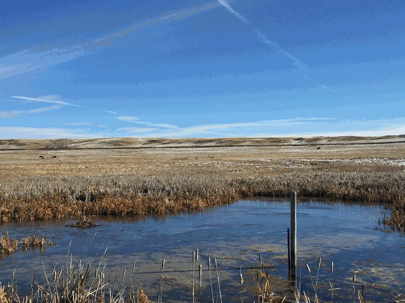
Relic River Meander

| Image Data | |||
| Date: Direction: State: Country: Marker ID: |
11/08/2015 East Montana USA 330 |
||
| Location: | U.S. Hwy 12 at Selkirk | ||
|
|
|
|
Association: Scientist
Longitude: -110.226678
Description: A large, old meander of the Musselshell River filled in with cattail fresh marsh and small pockets of open water.
| No Additional Dates for this Site. |