|
|
|
|
 |
||
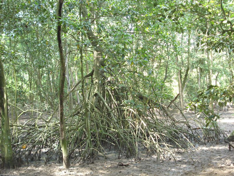
Bahia de Panama

| Image Data | |||
| Date: Direction: State: Country: Marker ID: |
08/01/2008 South West Panama Panama 33 |
||
| Location: | Near mouth of the Rio Juan Diaz | ||
|
|
|
|
Association: Government
Longitude: -79.435025
Description: Red Mangrove with prop roots. Mangrove forested area of Red, Black, and White mangroves with recent sediment deposition from flooding on the Rio Juan Diaz.
| No Additional Dates for this Site. |