|
|
|
|
 |
||
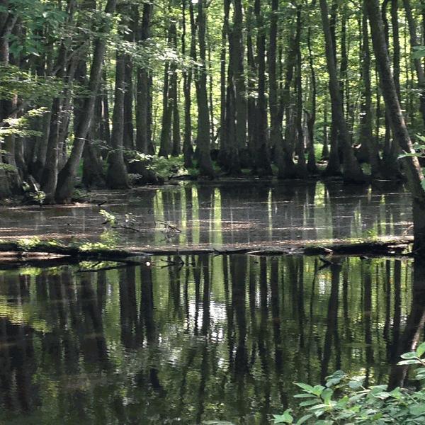
Dillard Creek

| Image Data | |||
| Date: Direction: State: Country: Marker ID: |
07/18/2015 East North Carolina USA 322 |
||
| Location: | south of Ballards Bridge | ||
|
|
|
|
Association: Scientist
Longitude: -76.654544
Description: Cypress/Tupelo swamp.
| No Additional Dates for this Site. |