|
|
|
|
 |
||
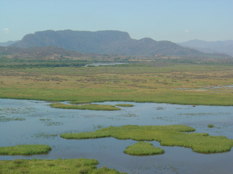
Rio Tempisque

| Image Data | |||
| Date: Direction: State: Country: Marker ID: |
02/26/2004 West Guanacaste Costa Rica 32 |
||
| Location: | Palo Verde National Park | ||
|
|
|
|
Association: Government
Longitude: -85.340252
Description: Fresh Marsh wetland. Typha ssp.(cattail)has closed in open water areas decreasing migratory waterfowl habitat. Area does not flood as regularly or intensely as in the past due to water withdrawl upstream from the park.
| No Additional Dates for this Site. |