|
|
|
|
 |
||
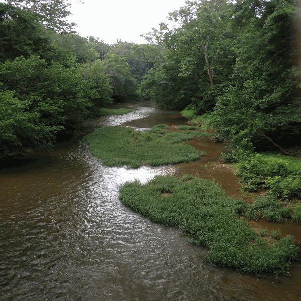
Rappahannock River

| Image Data | |||
| Date: Direction: State: Country: Marker ID: |
07/11/2015 South East Virginia USA 314 |
||
| Location: | Waterloo | ||
|
|
|
|
Association: Scientist
Longitude: -77.905877
Description: Open water and emergent herbaceous fresh marsh growing in stream channel, with mid-summer low flow.
| No Additional Dates for this Site. |